Maps of Golden and Route to Alpine Helicopters
A Map locating Golden in B.C.
A Map of the Township of Golden (click on the map to enlarge)
A larger, better map of Golden BC
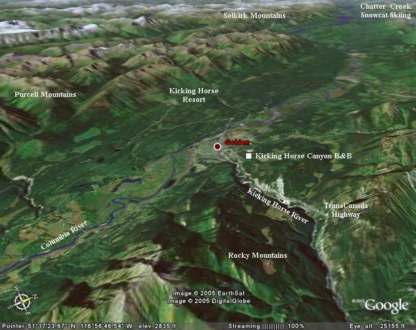
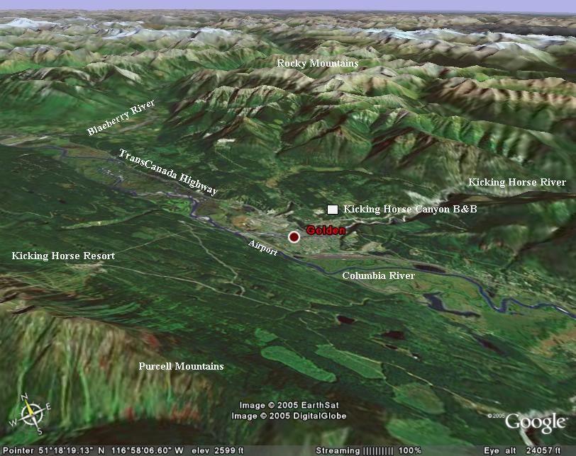
An aerial photo of Golden BC with names.
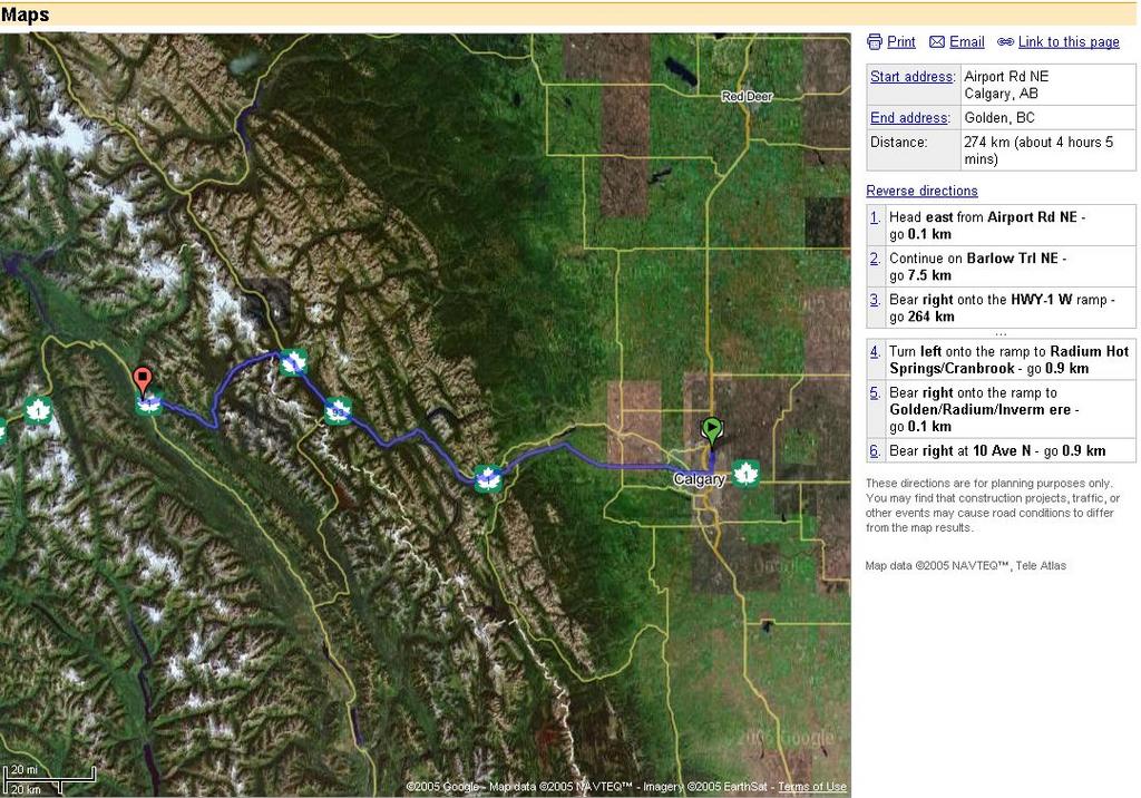
Driving directions from Calgary Airport to downtown Golden and a view of the roads to Calgary airport
Directions to Golden Airport
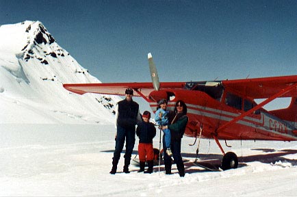
Chatter guests heading for the Alpine Helicopter hanger and their Chatter Creek flight....
1. Turn off the Trans Canada Hwy onto Hwy 95 south.
2. Proceed into town in direction of Radiun (south). Cross Kicking Horse River.
3. Two blocks beyond bridge, turn right onto 9th Street. Proceed west to end of 9th St.
4. Turn right (north) onto 5th Ave. South. Proceed north on 5th, which turns into Fisher Road.
5. Cross railway tracks and loop around end of airport runway.
6. Continue to Alpine Helicopter hanger which is the last building.
Unload at hanger door, then park in fenced compound.
Golden Airport, Information for Pilots -
posted by Chatter Editor @ 10:44 AM
1 comments
![]()


1 Comments:
This comment has been removed by the author.
Post a Comment
<< Home