Golden Airport, Canada
Information for pilots flying to:
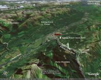
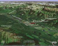
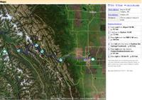
-Golden Airport, Canada - (CYGE) 51-18N 116-59W
Elevevation: 2,575 feet or 784.86 metres above sea-level.
Golden is in the Mountain Time Zone
Airport Information
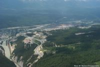
- GO2Rockies.com summary - with aerial photo of airport.
Environment Canada - Golden Airport
- 5 Day Forecast.
- Past 24 Hour Conditions.
NOAA National Weather Service (Canada Weather)
- Current Weather for Golden Airport (CYGE)
Nav Canada Aviation Weather - select "Pacific Region"
- SIGMET/AIRMET/METAR/TAF/PIREP/Volcanic Ash.
- Forecasts and Observations / NOTAM - enter "CYGE"
Closest Airports
- Cranbrook Airport (CYXC)
- Salmon Arm Airport(CZAM)
- Revelstoke Airport (CYRV)
- Calgary International (CYYC)
Other Resources
CWOP Site Information Report - CYGE (CYGE)
World Airport Data - Golden (CYGE)
RSVP Air Charter Directory - listing for Golden Airport (nearby stations)
World Buddy Time and Weather - (CYGE) 51-18N 116-59W






1 Comments:
This comment has been removed by the author.
Post a Comment
<< Home